Mount Resegone, also known as Monte Serrada, stands as one of the most renowned peaks in the Lecco region. Straddling the border between the provinces of Lecco and Bergamo, it is on the western slopes of this mountain that the town of Lecco lies.
About the trail
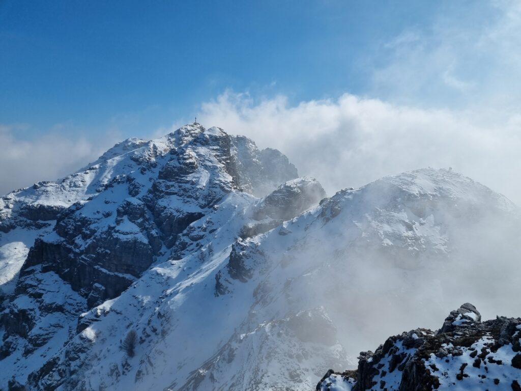
Our journey began with parking our car in Versasio, where a convenient cable car can transport you to the trailheads. From here, we embarked on our adventure along the comfortable “Path of Lakes,” ascending first to Pizzo Morterone (1,751 meters above sea level), then to Pan di Zucchero (1,758 meters above sea level), and finally reaching the summit of Pozzi (1,810 meters above sea level).
Our original plan was to continue along the ridge, but unfavorable weather conditions prompted us to opt for a direct descent along the Carlo Villa trail. However, this trail was considerably snow-covered and featured some sections equipped with chains, which led to unexpected delays. In particular, we arrived at the Piani d’Erna cable car station precisely one hour after its last run.
This compelled us to return to the parking area by car via a straightforward but not particularly short path, necessitating the last leg of our hike to be undertaken in darkness, aided by flashlights. Needless to say, it was an adventure filled with unexpected twists and turns.
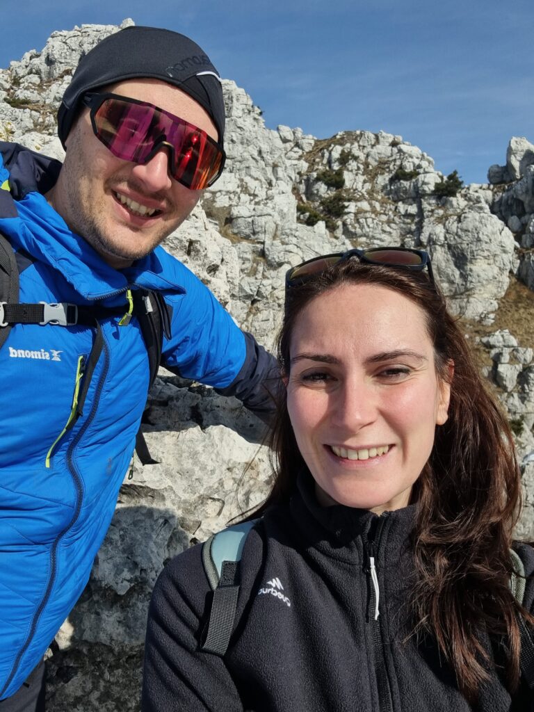
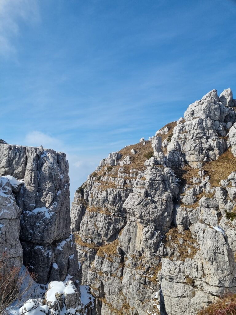
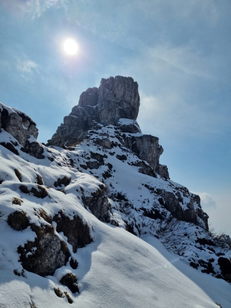
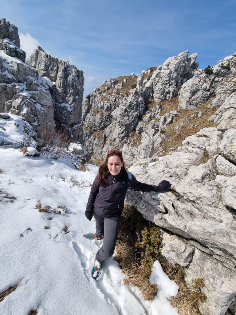
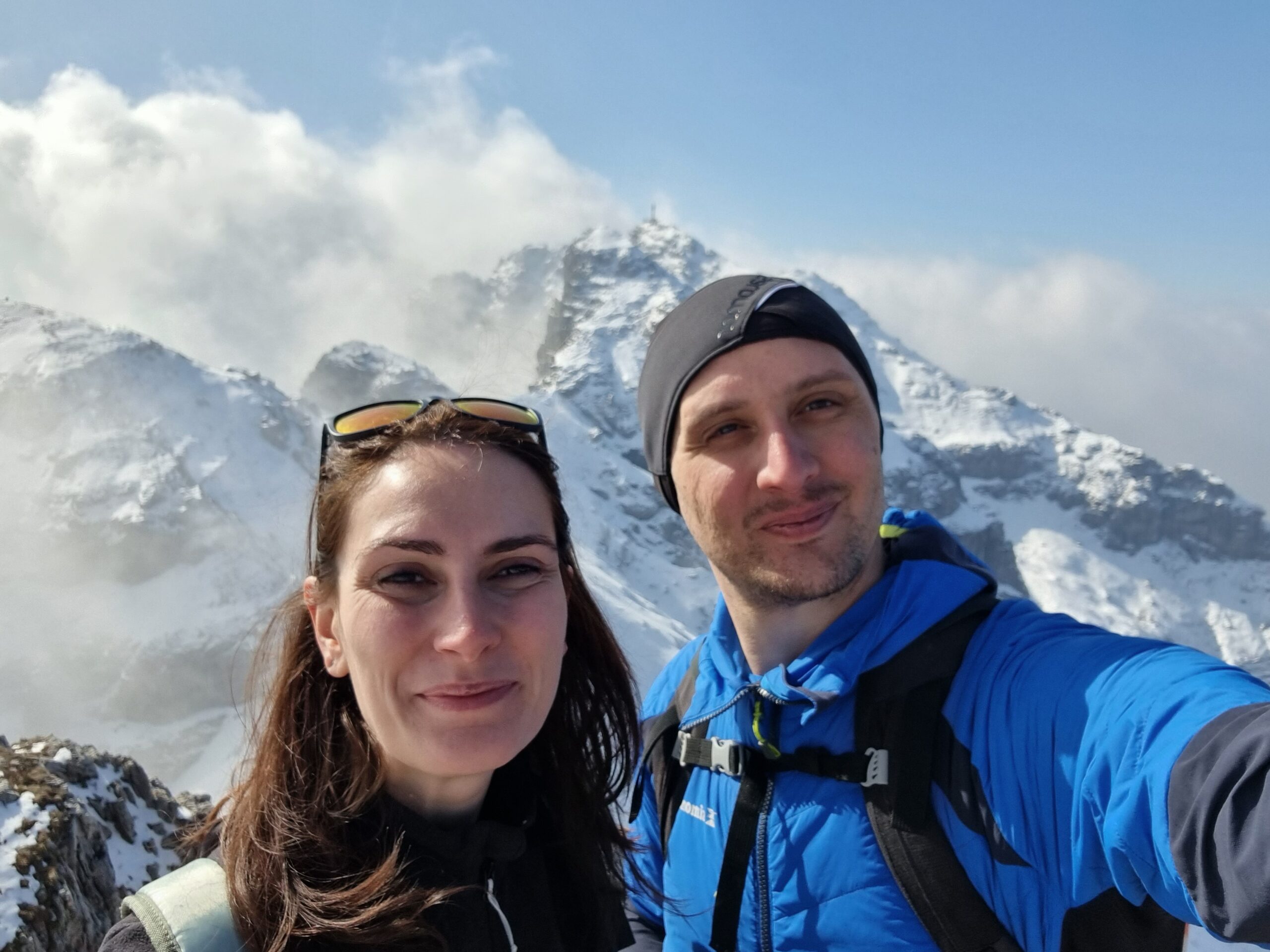
Some pics